Kielder
Whitelyne Common Trig Point
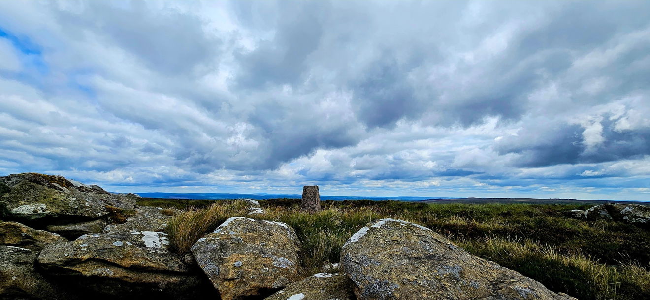
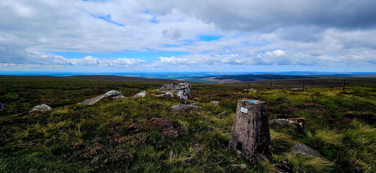
This is the trig point for Whitelyne Common (519m) near Kielder.

This is the Whitelyne Common trig point (519m) in on Sighty Crag, Whitelyne Common near Kielder.
From the parking, pick up the permissive path NE and follow this into the forest, keeping to the path all the way. This will then drop you out at Round Crag where you can follow a quad bike track to the fence.
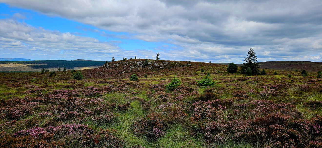
From here start heading north hugging the fence line all the way to Sighty Crag and the trig point.
Just follow this map, or find it on OS Maps. It's 6km and 324m of ascent, so get your hiking boots on.
Thanks to Nicola Tilt for all the photos and information for this one.
Find this place
Find Whitelyne Common Trig Point
Where Is Whitelyne Common Trig Point?
- Lat / Long
- 55.121079, -2.6265422
- What3words
- smoking.interviewer.seabirds
Where To Park For Whitelyne Common Trig Point?
- Lat / Long
- 55.097739, -2.692567
- What3words
- trappings.shuttle.mission
Park up off the main track.