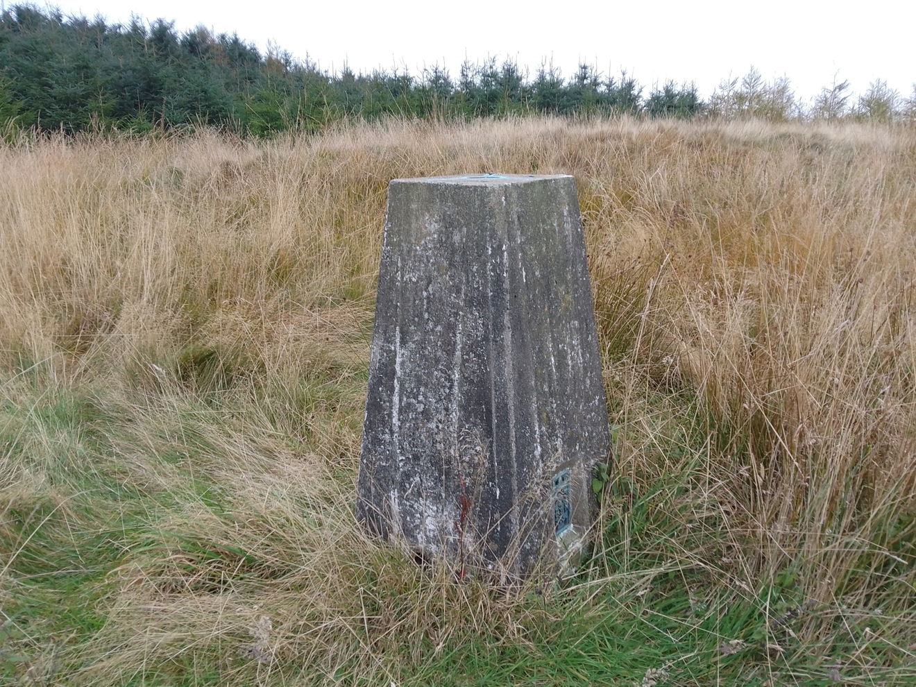
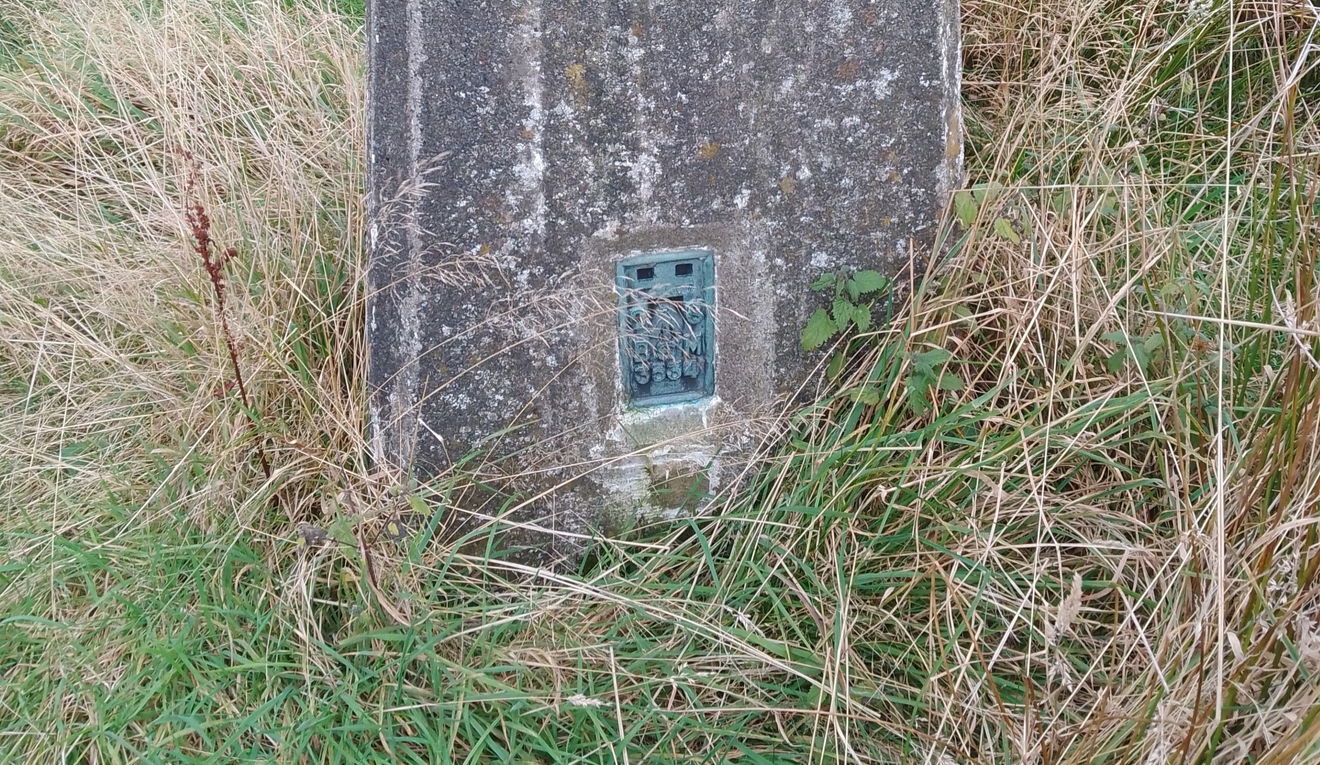
White House Hill Trig Point
This is the trig point for White House Hill (169m) near Alnwick.

This is the White House Hill trig point (169m) sitting north of Hulne Park in Alnwick.
From the parking head towards White House Farm and just before the building there will be a permissive path heading north. There is a track earlier which takes you through the trees, but then you will have to head over the firetrack to meet up with the other track.
When you get to the fence, this is no longer permissive land, so please ask permission before you head up to the trig point. Turn east at the fence and then hugit as it turns north. You should then see the trig point.
Just follow this map, or find it on OS Maps. It's 1km and 83m of ascent.
Thanks to Paul Allinson for all the photos and information for this one.
Find White House Hill Trig Point
Where Is White House Hill Trig Point?
- Lat / Long
- 55.454056, -1.7465806
- What3words
- dares.square.topic
Where To Park For White House Hill Trig Point?
- Lat / Long
- 55.448402, -1.749834
- What3words
- exhaled.migrants.utensil
Leaving the B6346 sign posted White House, find a space off road near the woodland.