Shirlah Pike Trig Point
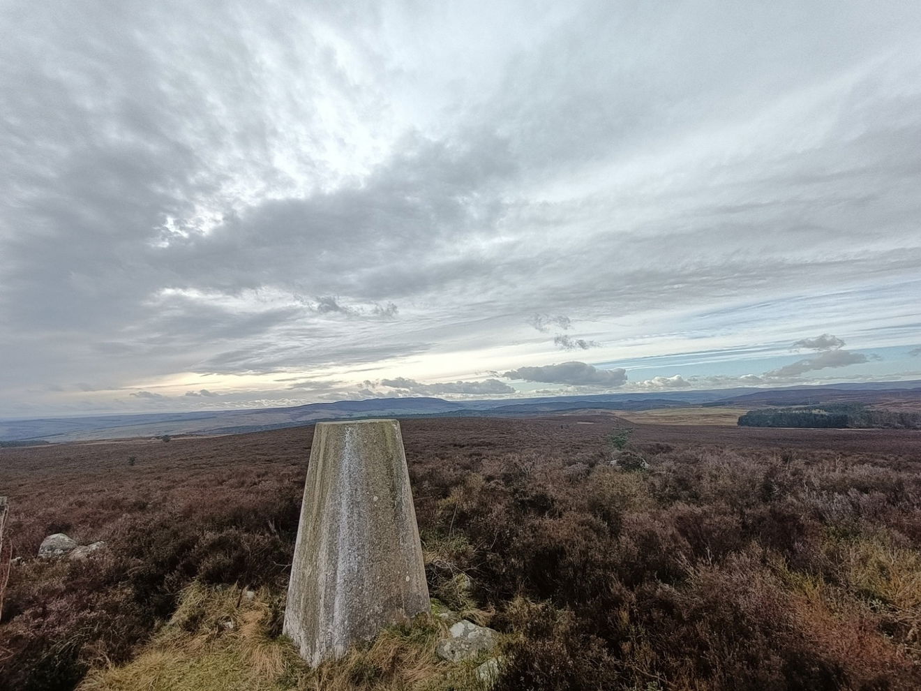
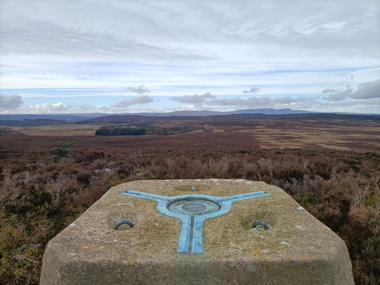
The trig point sitting on top of Shirlaw Pike (308m) near Rothbury.

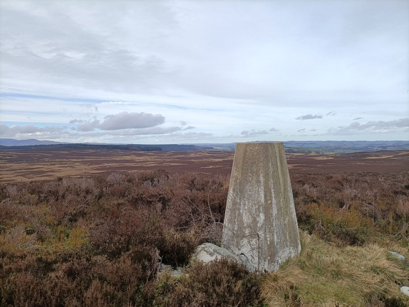
This is the Shirlah Pike trig point (308m) sitting on Shirlaw Pike near Rothbury.
Not too sure why the trig is called Shirlah Pike and not Shirlaw Pike, but anyway here is how you get to it.
There is a little layby next to the Rothbury and Edlingham crossroads on the A697. Walk from there towards Rothbury and then you will shortly see a fingerpost on the left. Follow this permissive path SE all the way to Lamb Hill and then turn SW towads the edge of the plantation. The trig is just on the edge of the trees. Around 3km to get there with 123m ascent.
Follow this map, or find it on OS Maps.
There are other recomendations for parking in the layby at Framlington Gate, however the initial bit is not on open access land and then you will have to pick your way through the plantation. Our above route takes you over open access land on a permissive path and avoids the trees.
Thanks to Glen Harrison for the photos and information.
Find Shirlah Pike Trig Point
Where Is Shirlah Pike Trig Point?
- Lat / Long
- 55.329196, -1.843122
- What3words
- broad.clutches.rainfall
Where To Park For Shirlah Pike Trig Point?
- Lat / Long
- 55.349545, -1.846028
- What3words
- corrupted.study.this
Park in the layby on the A697 just before the Rothbury and Edlingham crossroads.