Stanhope
Sand Edge Common Trig Point
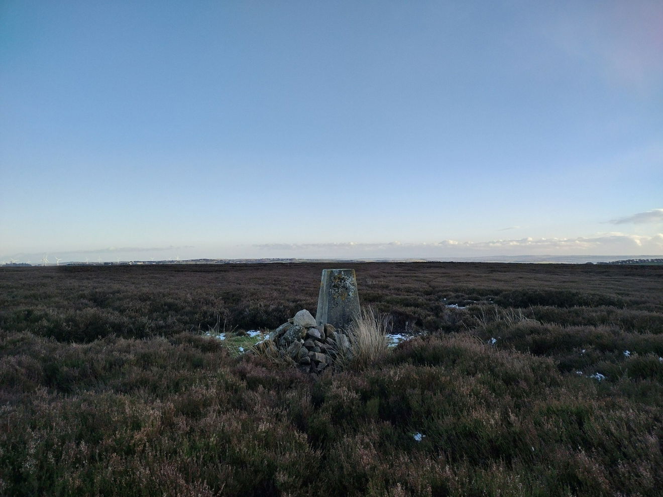
The Sand Edge Common trig point is on Wolsingham North Moor (353m) near Stanhope.

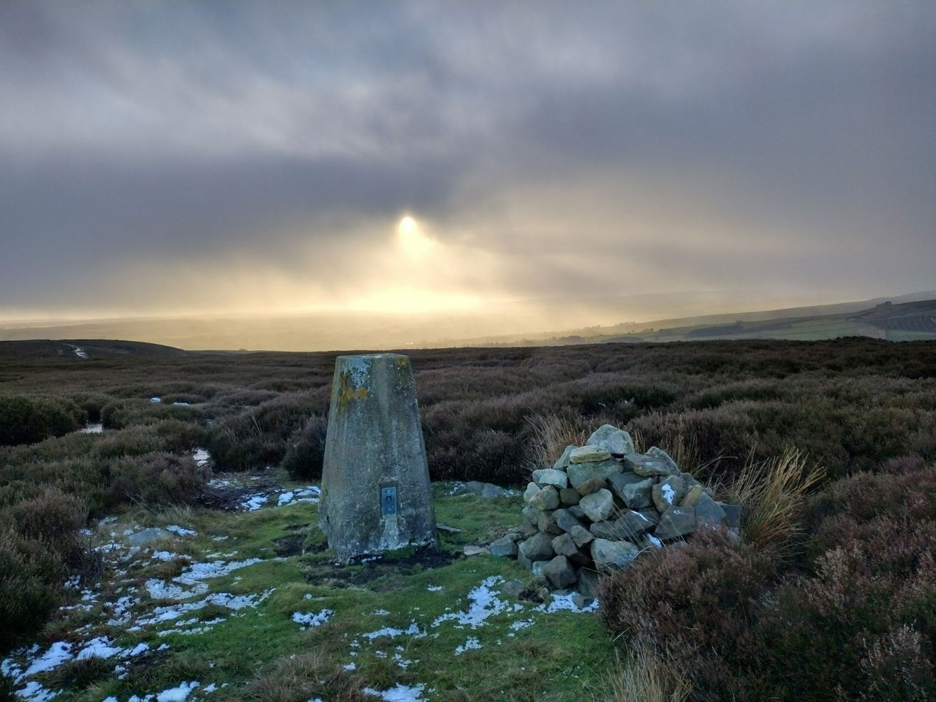
This is the Sand Edge Common trig point (353m) near Stanhope.
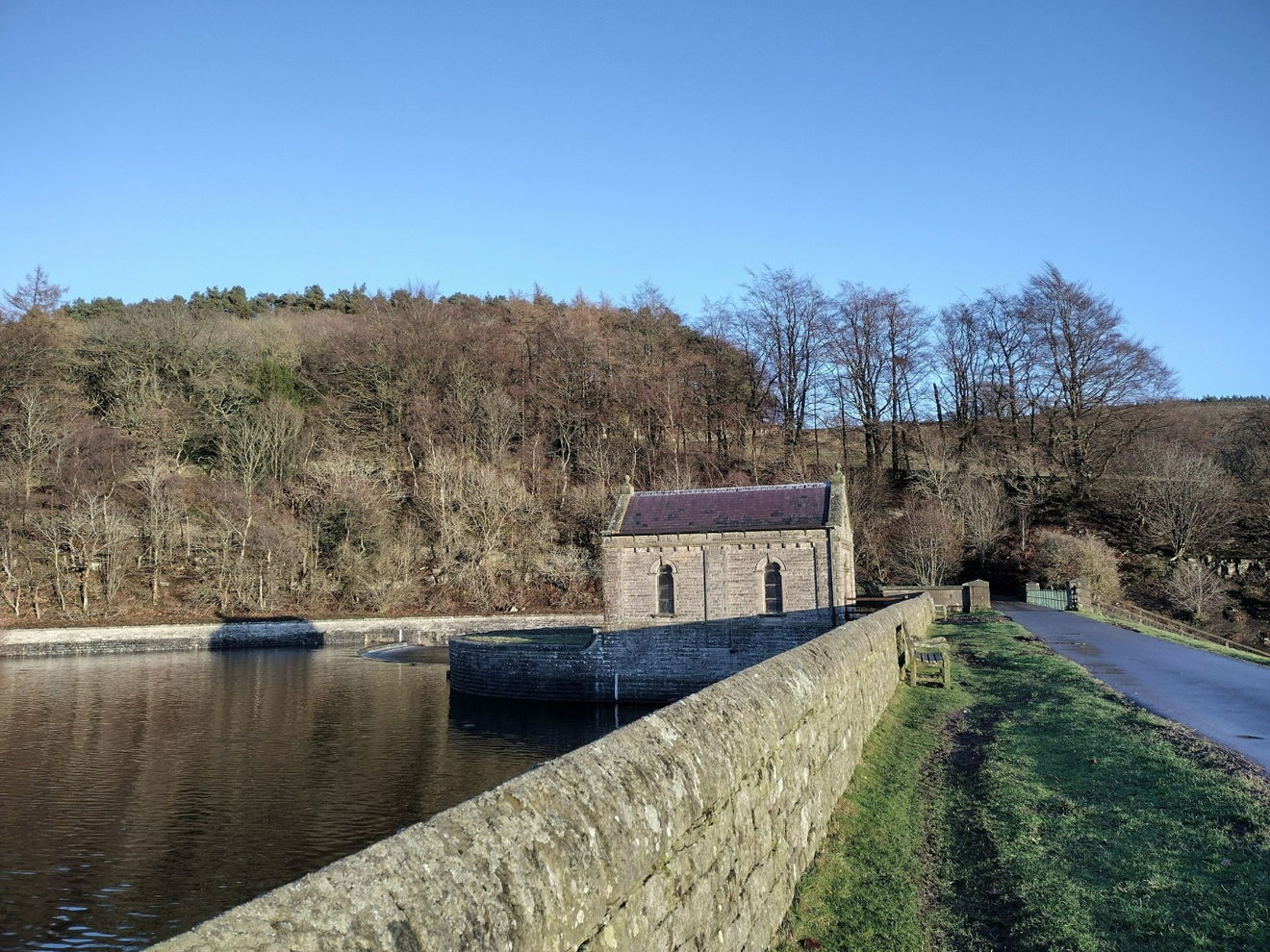
From the Tunstall Reservoir car park turn left and follow the road up to the wear, turn left and cross the wear. Stay on this track as it bends left then right and past Backstone Bank.
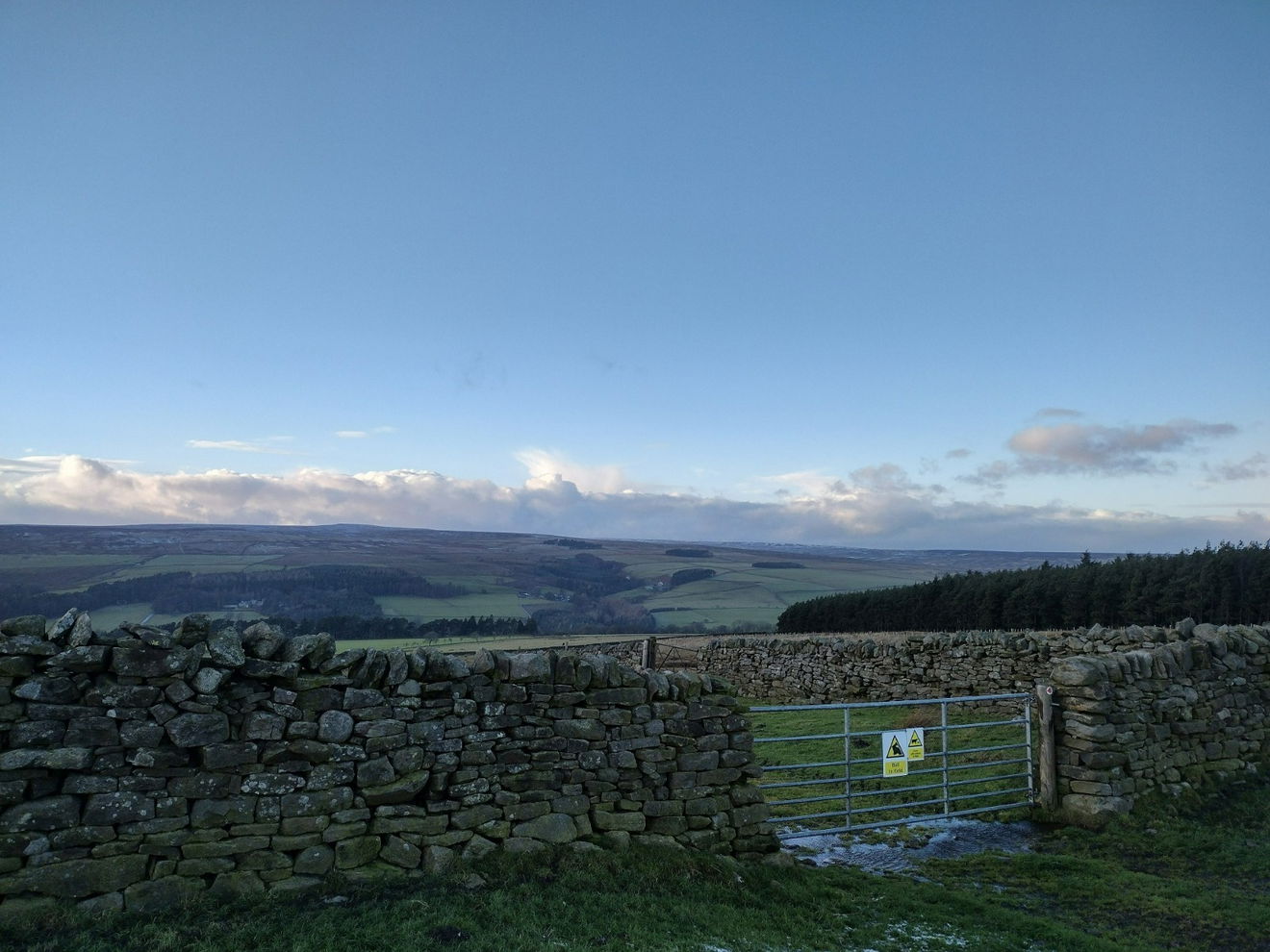
Continue along the path heading E. When the path comes to a junction, turning right follow this path S for a short distance before the trig point come into view on the left.
This route is 2.5km from the car park with 135m ascent.
Follow above route or find on OS Maps.
Find this place
Find Sand Edge Common Trig Point
Where Is Sand Edge Common Trig Point?
- Lat / Long
- 54.758627, -1.8814673
- What3words
- towers.lunching.grouping
Where To Park For Sand Edge Common Trig Point?
- Lat / Long
- 54.767074, -1.901772
- What3words
- garlic.engrossed.landings
There is plenty of parking at the fishing lodge on the western side of Tunstall Reservoir.