Stonehaugh
Round Top Trig Point
This is the trig point for Round Top (325m) near Stonehaugh.

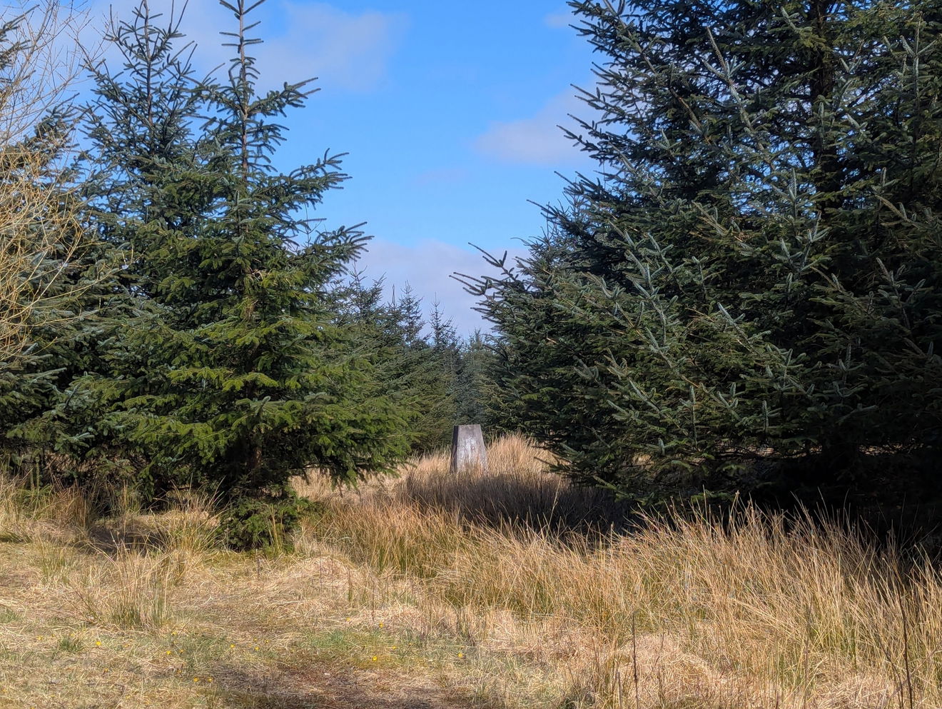
This is the Round Top trig point (325m) sitting in Wark Forest near Stonehaugh in Northumberland.
It's a canny track, but maybe one you could cycle to. Follow the track west and then there is a little path through the trees leading north to the trig point.
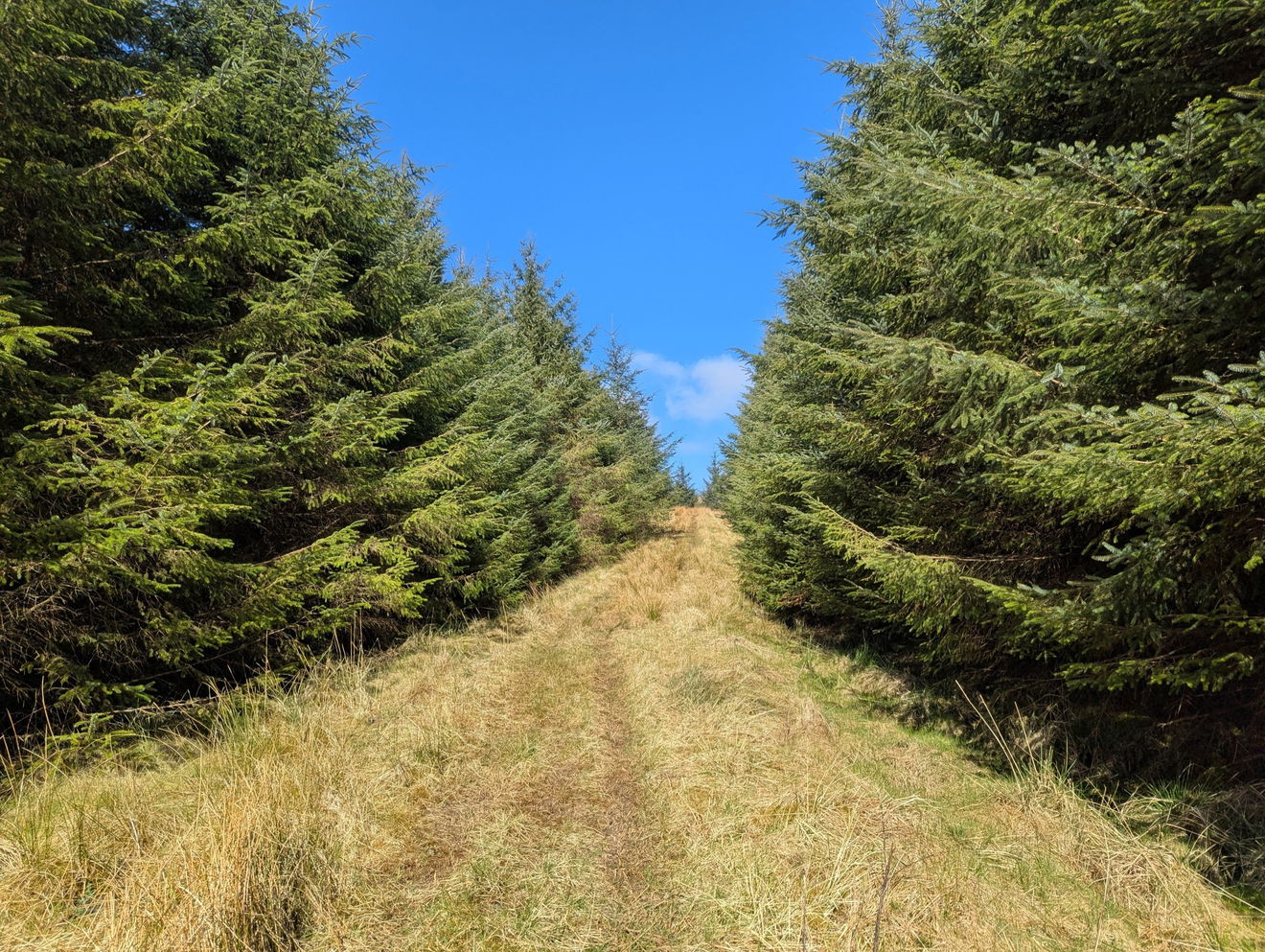
Just follow this route to the Round Top trig point, or find it on OS Maps. Just over 6km and 126m ascent.
Find this place
Find Round Top Trig Point
Where Is Round Top Trig Point?
- Lat / Long
- 55.083444, -2.4448976
- What3words
- commit.dentures.backers
Where To Park For Round Top Trig Point?
- Lat / Long
- 55.087497, -2.371394
- What3words
- liked.tickling.goad
At the junction, there is space to get your car on to the grassy verge.