Middleton-in-Teesdale
Romaldkirk Moor Trig Point
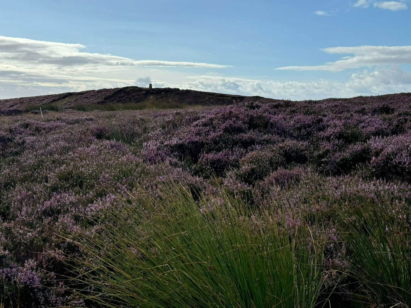
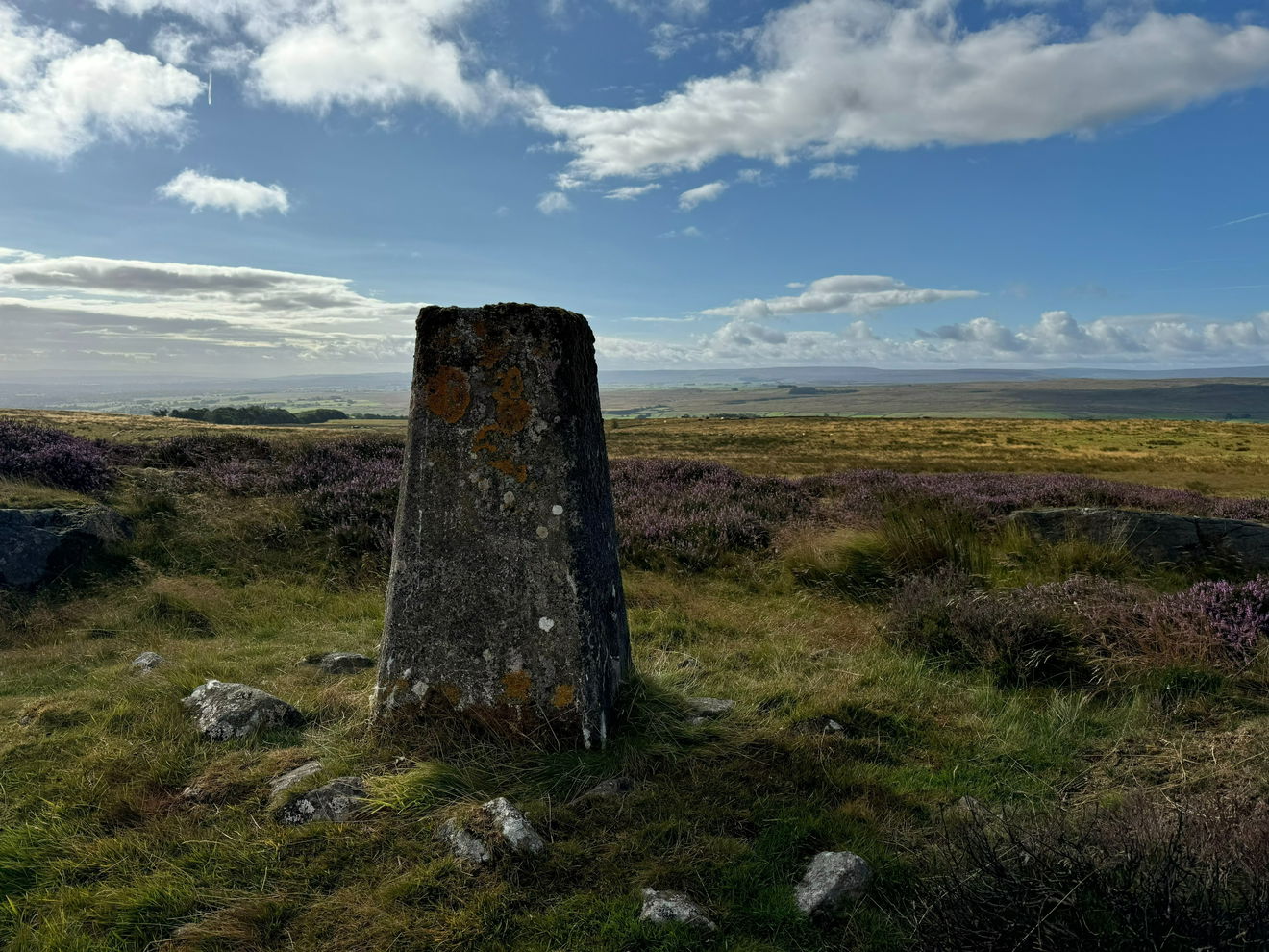
The Romaldkirk Moor trig point sits on moorland (410m) near Middleton-in-Teesdale.


This is the Romaldkirk Moor trig point (410m) near Middleton-in-Teesdale.
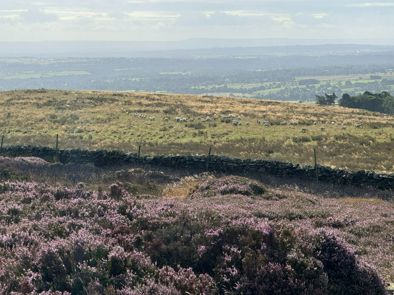
From the verge parking, follow an ATV track NE over Harker Hill.
Aim for the left hand corner of the wall.
Once over the wall continue NE finding the best route to the trig point through the heather.
This route is just over 0.5km with 20m of ascent.
Follow above route, or find on OS Maps.
Find this place
Find Romaldkirk Moor Trig Point
Where Is Romaldkirk Moor Trig Point?
- Lat / Long
- 54.59057, -2.0682742
- What3words
- song.appoints.excusing
Where To Park For Romaldkirk Moor Trig Point?
- Lat / Long
- 54.588171, -2.075442
- What3words
- parkland.admits.each
Parking is very limited to verge parking.