Stanhope
Pikestone Fell Trig Point
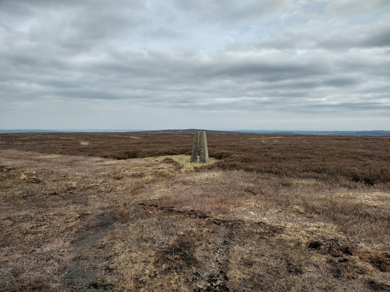
This is the trig point for Pikestone Fell (387m) near Stanhope.

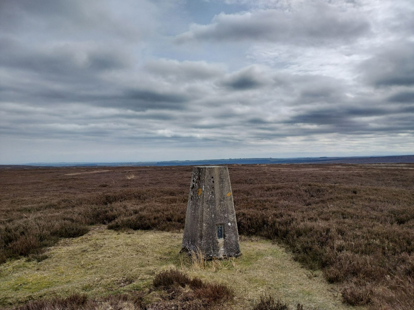
This is the Pikestone Fell trig point (387m) near Stanhope.
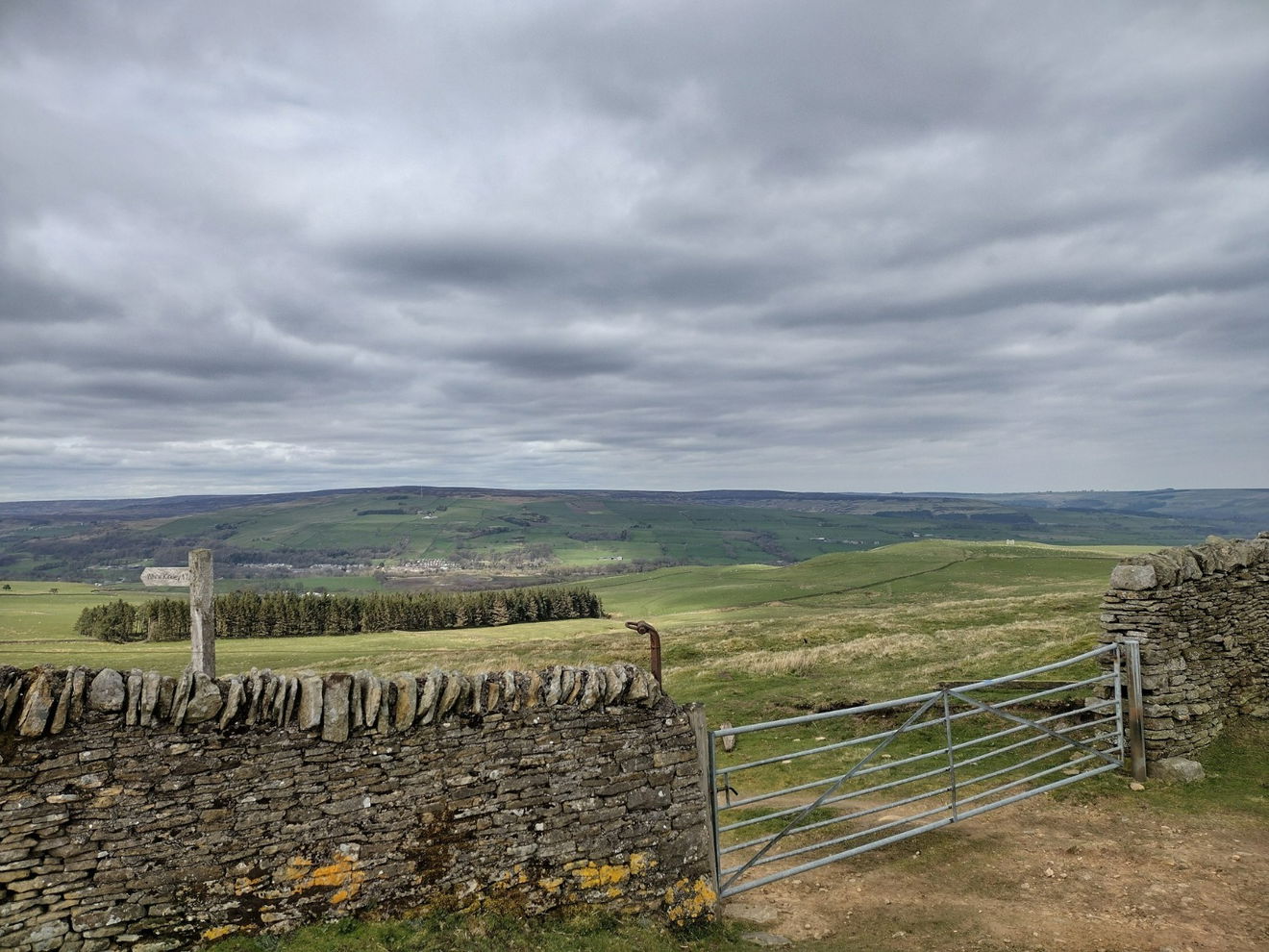
From the car park, follow the road N slightly before joining the track heading NE. Follow this track for 5.5km keeping your eyes peeled to the right. Once you spot the trig point, make your way down a heathery path to the trig.
This route is 6km from the car park with 55m ascent.
Follow the above route or find on OS Maps.
Find this place
Find Pikestone Fell Trig Point
Where Is Pikestone Fell Trig Point?
- Lat / Long
- 54.70034, -1.9424938
- What3words
- regaining.padding.suave
Where To Park For Pikestone Fell Trig Point?
- Lat / Long
- 54.670992, -2.006182
- What3words
- strongman.dripping.half
There is a large parking area on the east side of the B6278.