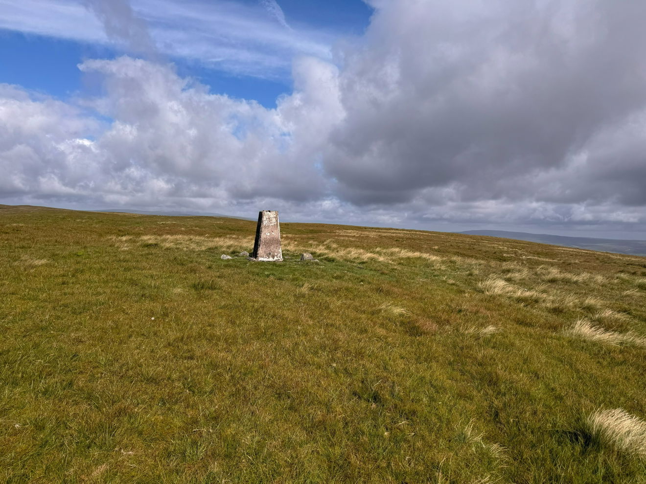
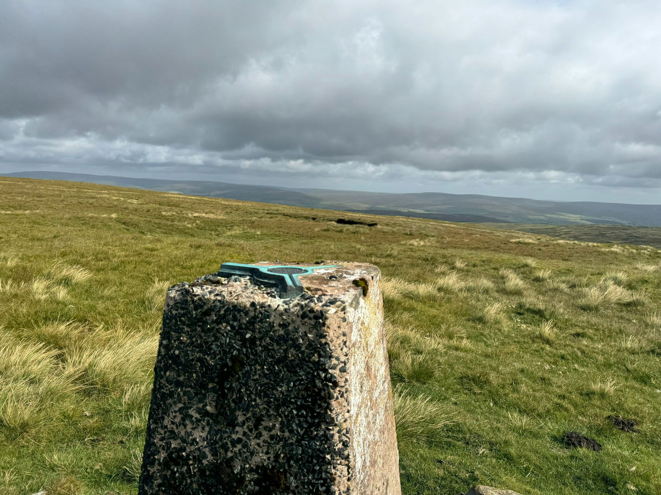
Mickle Fell Trig Point
The Mickle Fell trig point sits above Lune Forest on MOD land (758m) near Middleton-in-Teesdale.

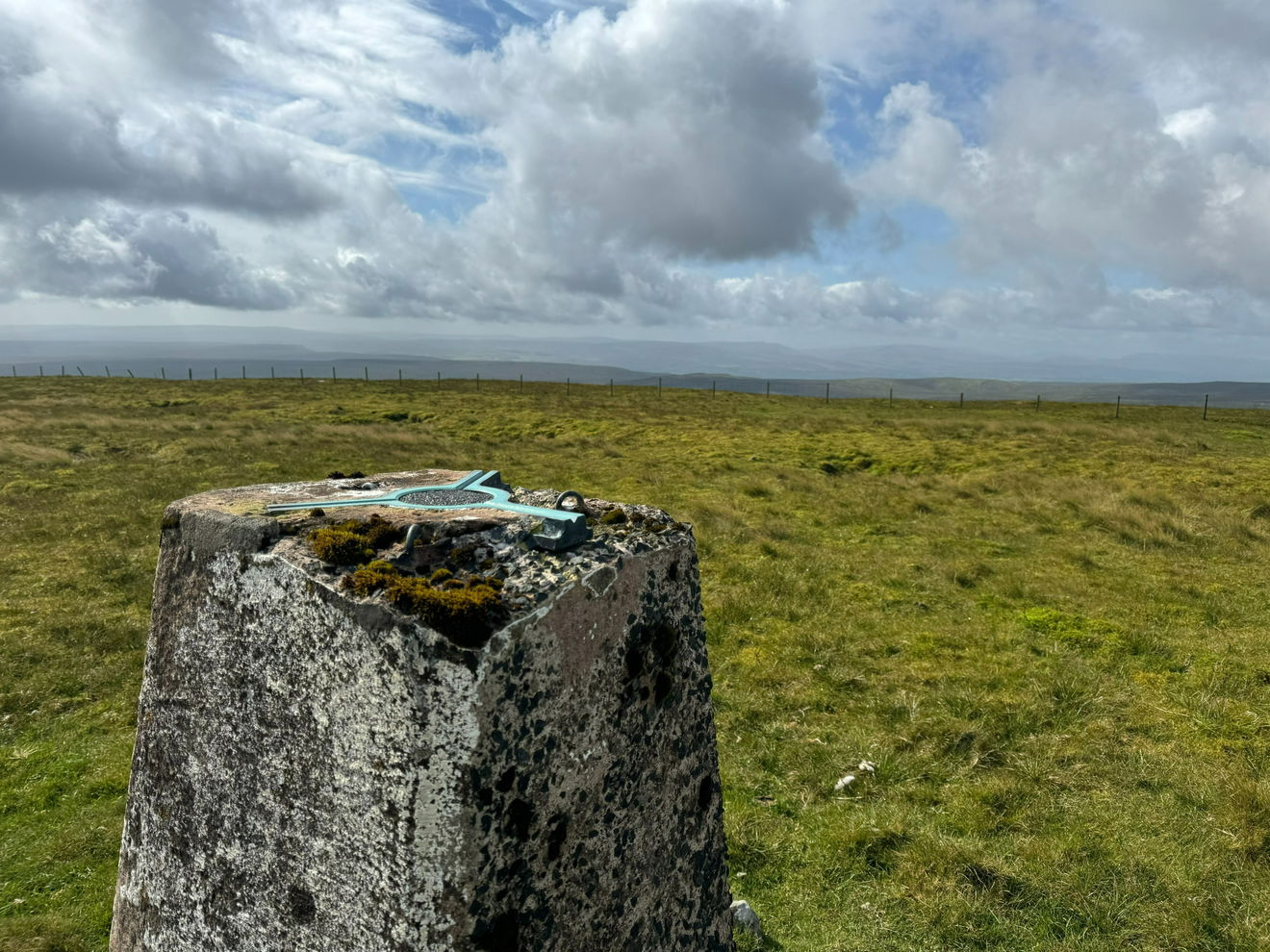
This is the Mickle Fell trig point (758m) near Middleton-in-Teesdale.
Access to Military Land
Access to Mickle Fell is only permitted on advertised days of the year. You must apply for a permit and take it with you when visiting the trig point.
Click the button below and scroll down to the Mickle Fell section.
From the parking area, head west along the track. Keep right when the track splits, then left. Stay on track until a sharp left turn that takes you over Arngill Beck.
Keep on this track until a right turn into the Danger Area. Continue up this track keeping right on the path up to the trig point.
This route is approximately 8km with 400m of ascent.
Follow the above route, or find on OS Maps.
Find Mickle Fell Trig Point
Where Is Mickle Fell Trig Point?
- Lat / Long
- 54.615674, -2.2707929
- What3words
- denser.bungalows.wonderfully
Where To Park For Mickle Fell Trig Point?
- Lat / Long
- 54.615661, -2.270787
- What3words
- bonus.scorecard.stream
There is parking for a few cars in the layby at the start of the track.