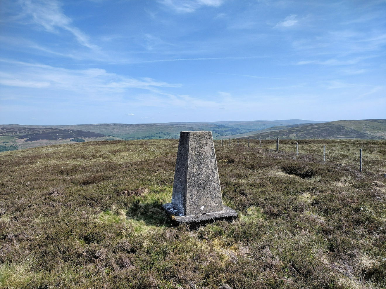
Knarsdale Forest Trig Point
The Knarsdale Forest trig point sits on Black Hill (484m) near Alston.

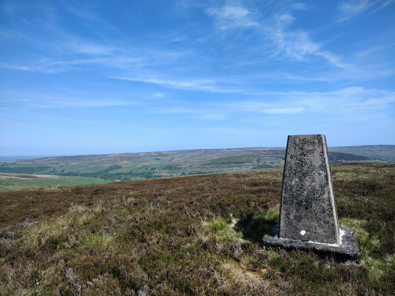
This is the Knarsdale Forest trig point (484m) sitting on Black Hill near Alston.
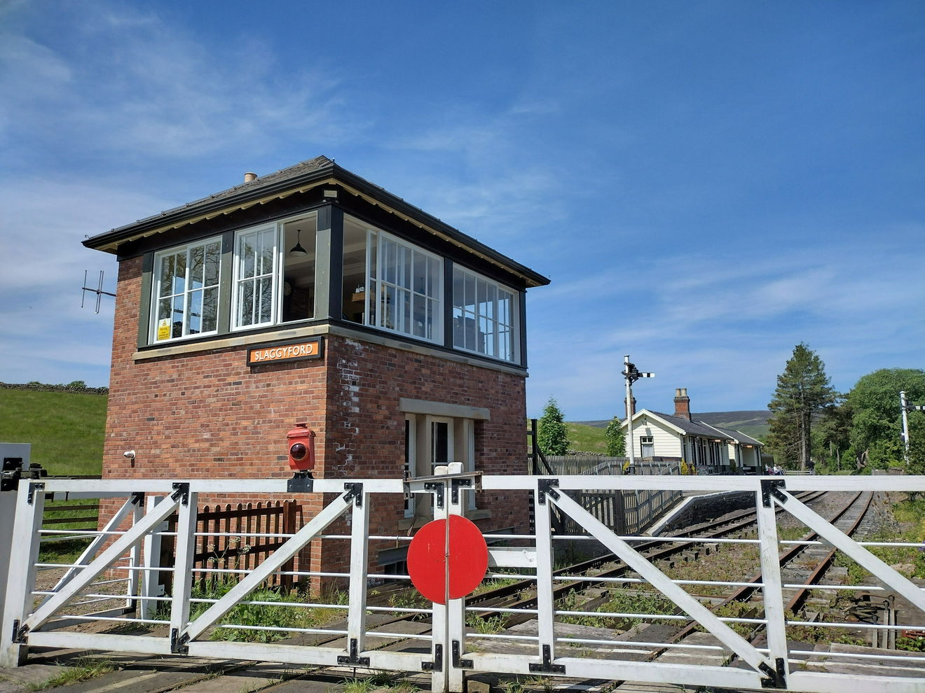
From the car park, turn right and walk down the road, passing Slaggyford station on your left.
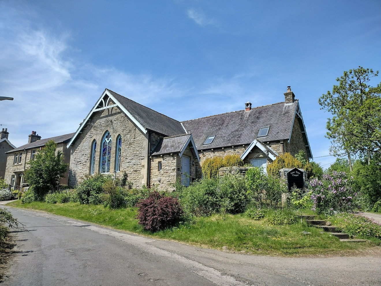
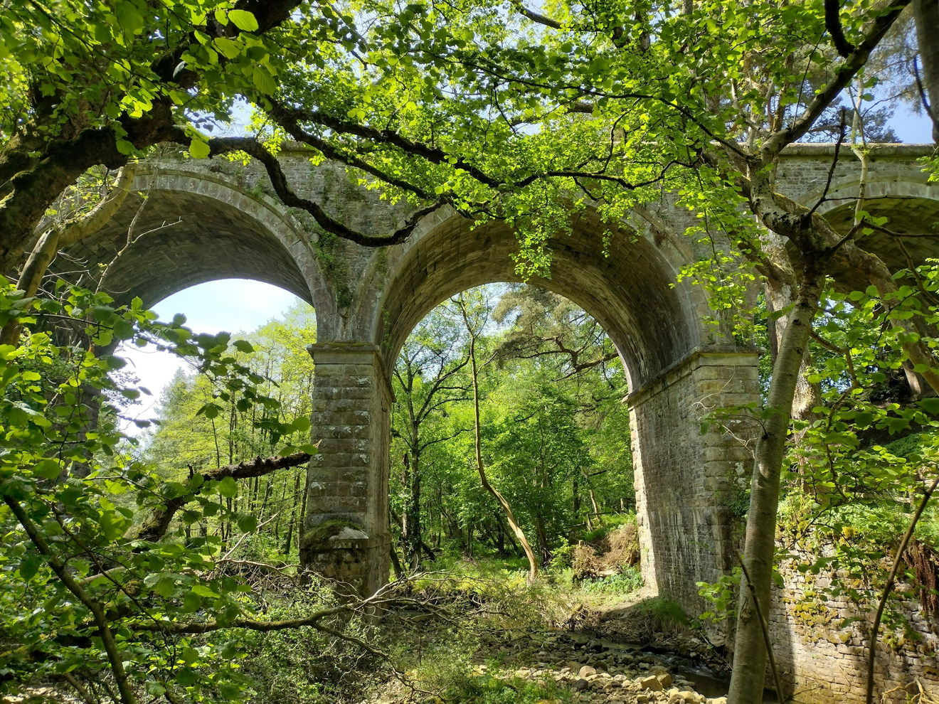
At the Yew Tree Chapel, turn left and follow the path as it dips into woodland and turns right at the viaduct.
Cross the water and head north west through four fields, before coming to a road and turning left.
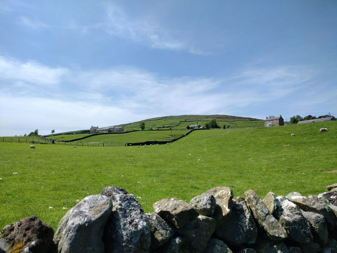
Walk along the road as it bends to the right, then heads south west.


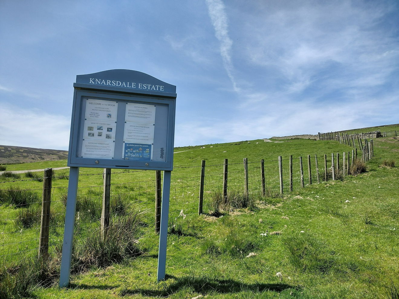
The road turns into a track then comes to a gate sign posted 'Knarsdale Estate'. Turn right and heading uphill.
Continue on the track a it winds up the hill. When you come to a turning on the right, ignore the turning and continue a short distance before turning right, staying on the left hand side of the fence.
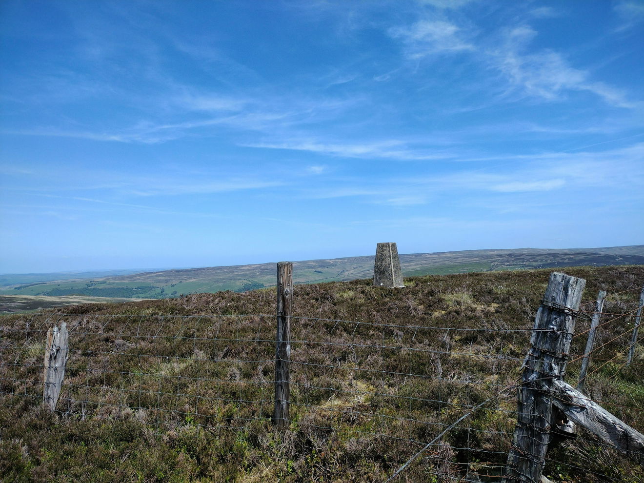
The trig will come into view on the right. Carefully climb over the fence to reach the trig point.
It is just over 4km to the trig point, with 290m ascent.
Follow the above route, or find on OS Maps.
Find Knarsdale Forest Trig Point
Where Is Knarsdale Forest Trig Point?
- Lat / Long
- 54.868686, -2.545055
- What3words
- plug.swims.wired
Where To Park For Knarsdale Forest Trig Point?
- Lat / Long
- 54.86468, -2.50625
- What3words
- unrealistic.bookmark.detect
There is a large car park opposite Slaggyford station.