Kielder
Glendhu Hill Trig Point
This is the trig point for Glendhu Hill (514m) near Kielder.

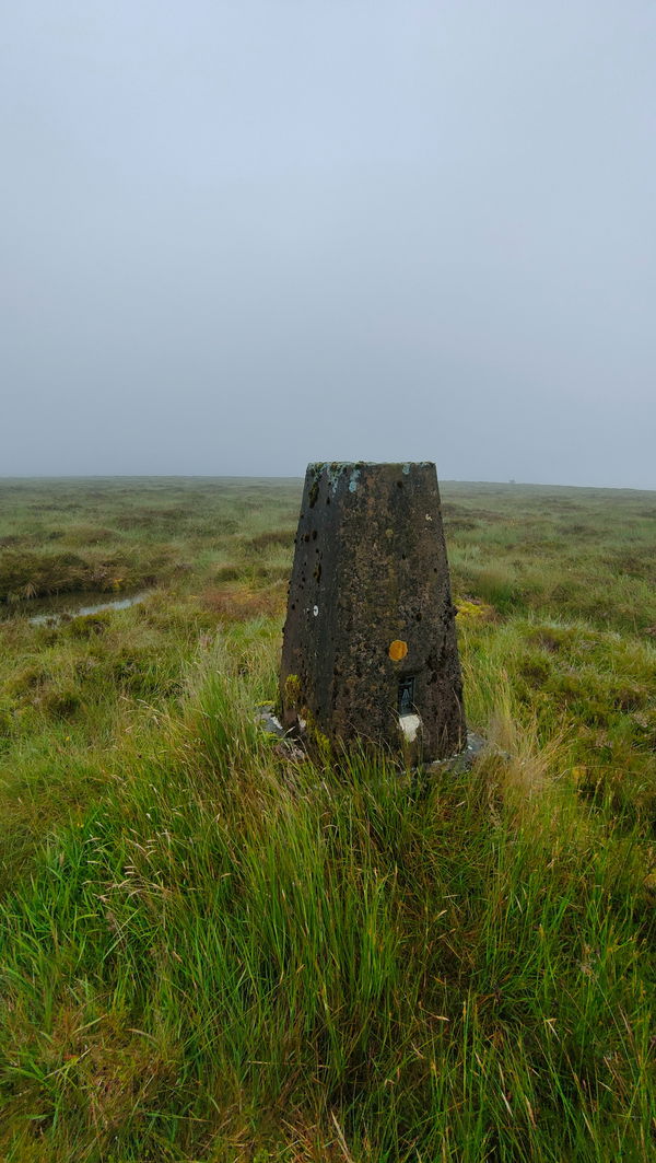
This is the Glendhu Hill trig point (514m) in Kershope Forest in Northumberland.

Strap your hiking boots on for this one is a cracking meander to the top of Glendhu Hill.
From the parking just over the border at Kershope Bridge you're going to be heading east through Kershope Forest for most of the way with a final trek across the moors.
Just follow this route to the Glendhu Hill trig point, or find it on OS Maps. This one is over 10km to get there and 412m of ascent!
Find this place
Find Glendhu Hill Trig Point
Where Is Glendhu Hill Trig Point?
- Lat / Long
- 55.169796, -2.6795366
- What3words
- conga.cutaway.envisage
Where To Park For Glendhu Hill Trig Point?
- Lat / Long
- 55.142478, -2.785131
- What3words
- fairness.clubbing.owner
There is a little parking area at Kershopehead right on the border.