Gapshields Trig Point
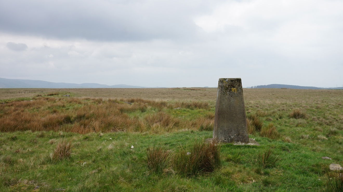
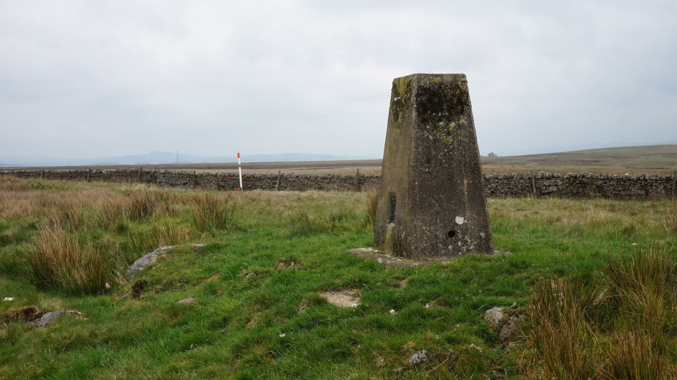
This is the trig point for Gapshields (290m) near Gilsland.

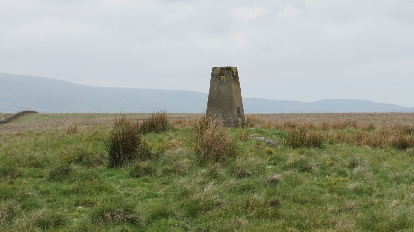
This is the trig point for Gapshields sitting on top of Blenkinsopp Common (290m) near Gilsland.
Walk to the east end of the layby and you will find a fingerpost leading you onto the Pennine Way. Way which we followed all the way up to the trig point. However, the first gate had a newly added "No entry" sign on it.
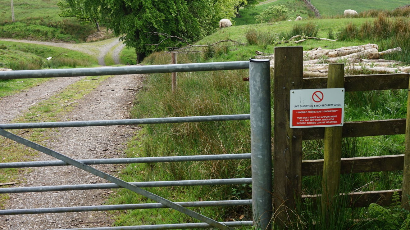
As this was a permissive path on the map, we debated what to do until a local on their daily constitutional turned up and told us to ignore the sign. The land owner had added it for Health and Safety reasons and the only time to take it into consideration was in the shooting season.
So we carried onto the next gate were you head south along a grass track rather than follow the farmers track. After this follow the Pennine Way across and up the moor until you reach a wall, then a faint track leads to the trig point.
Just follow this map, or find it on OS Maps. Around 3km to get to the trig point with 116m ascent.
Thanks to Chris Hearne for the photos and information.
Find Gapshields Trig Point
Where Is Gapshields Trig Point?
- Lat / Long
- 54.964539, -2.5618932
- What3words
- cuddled.mouth.mixed
Where To Park For Gapshields Trig Point?
- Lat / Long
- 54.979504, -2.548173
- What3words
- riverboat.buckling.binders
Park in the layby on the A69 which is right next to the permissive path.