
Dryhope Hill is not the most salubrious of hill baggings, mainly due to trees. I found myself either walking over tree debris to get up the hill and then squeezing through rows of packed pine trees to reach the summit.
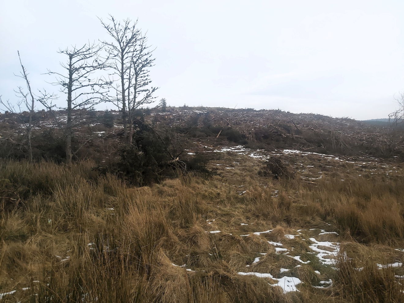
From the parking, it's best to stick to the forest track all the way and then once you get near the top, choose your best path through the rows of pine trees to the top of Dryhope Hill. There looks to be a slightly shorter path via Milkhope, but due to logging, this path has been churned up - see photo above.
Follow the route above or find it on OS Maps. Over 3km and 260m ascent.
Inner Hill is just a short hop, skip and a jump away, so bag this one when you're up here.
Find Dryhope Hill
Where Is Dryhope Hill?
- Lat / Long
- 55.39895, -2.11408
- What3words
- toys.puffed.introduce
Where To Park For Dryhope Hill?
- Lat / Long
- 55.388247, -2.132245
- What3words
- bind.clauses.tentacles
Park at a little crossroads just before you see a metal bridge.