Rookhope
Dry Rigg Trig Point
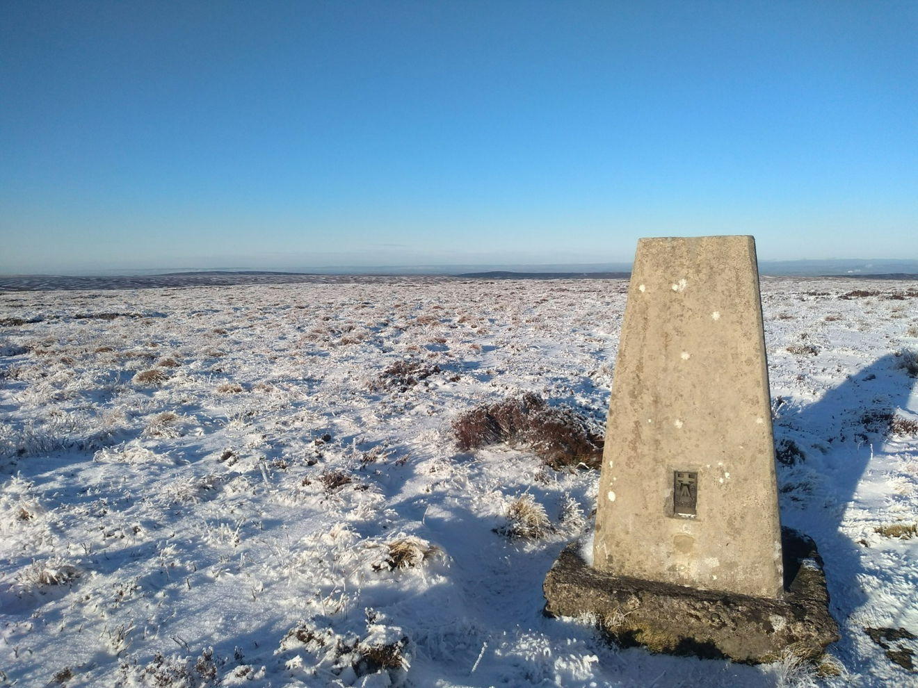
The Dry Rigg trig point sits on Redburn Common (561m) near Rookhope.

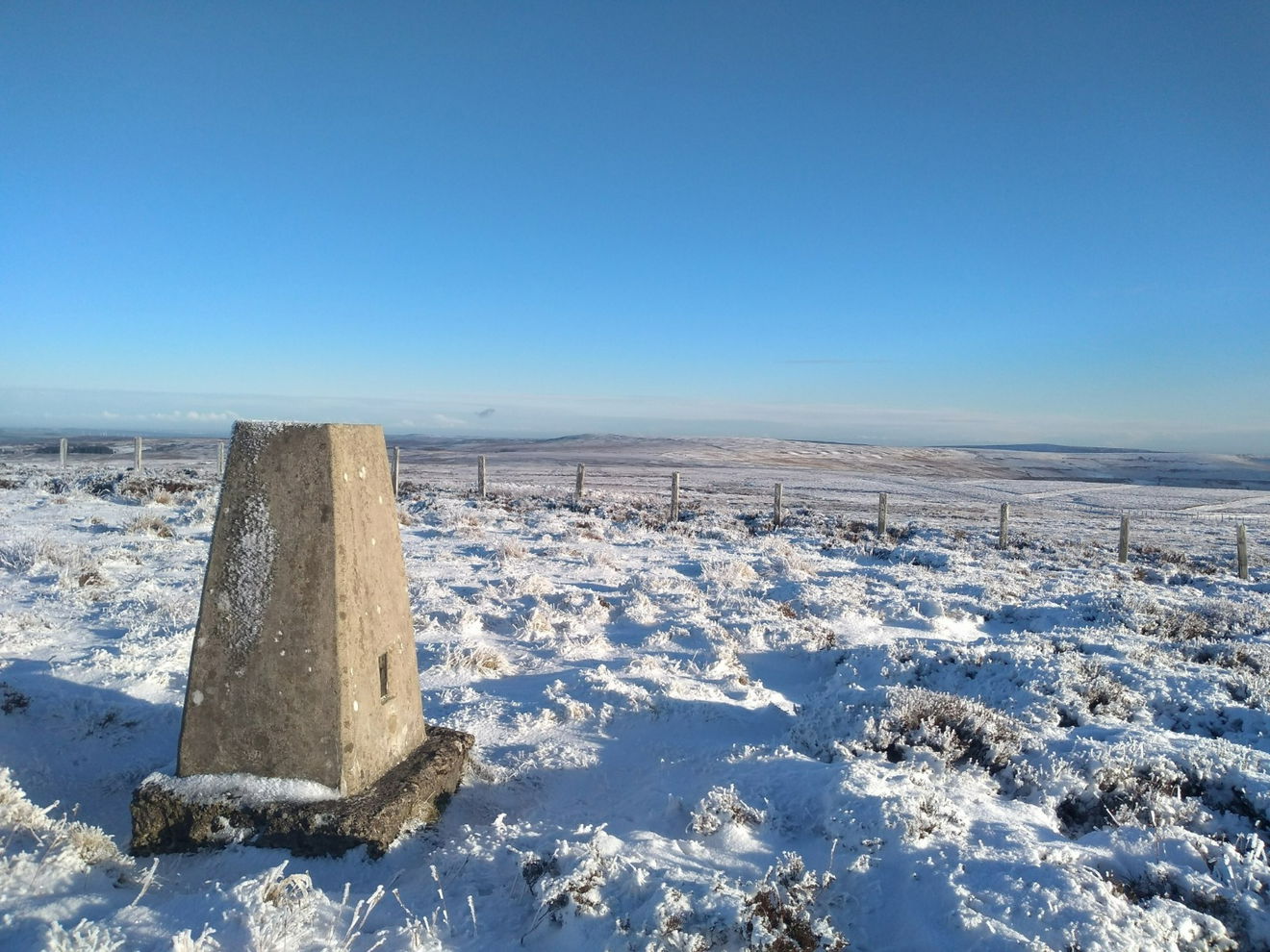
This is the Dry Rigg trig point (561m) near Rookhope.
From the parking layby, head N up the road for a 0.5km. Where a track heads W, turn onto the track but do not follow it. At this point you need to head over the moorland in a SW until you reach the trig.
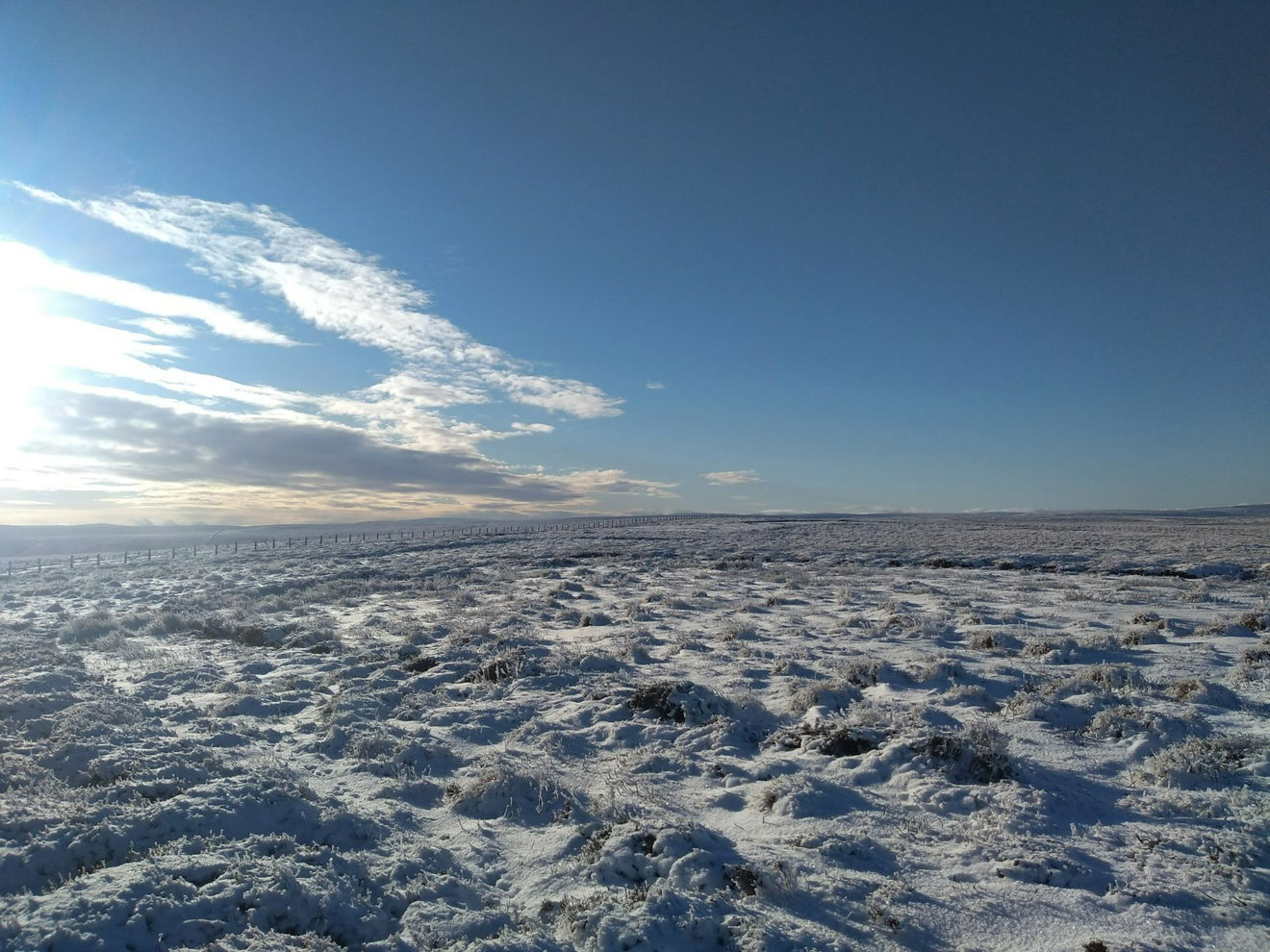
The route is 3km from the parking area with 60m of ascent.
Follow the above route or find on OS Maps.
Find this place
Find Dry Rigg Trig Point
Where Is Dry Rigg Trig Point?
- Lat / Long
- 54.799038, -2.136306
- What3words
- magic.bulbs.converged
Where To Park For Dry Rigg Trig Point?
- Lat / Long
- 54.800089, -2.104658
- What3words
- chins.arrive.agency
There is a large layby for parking several cars just before cattle grid on the road north of Rookhope.