Barnard Castle
Collinsons Hill Trig Point
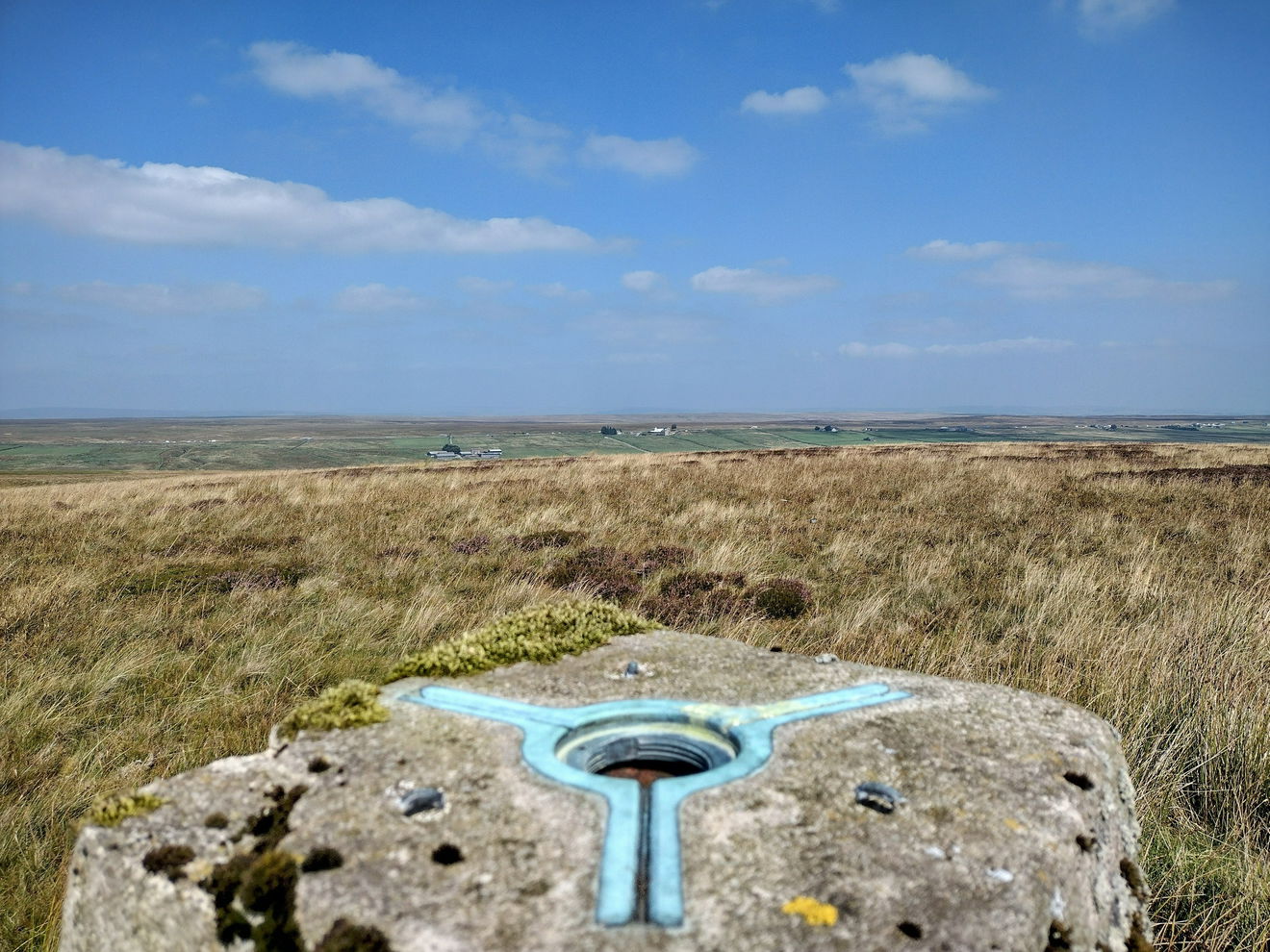
The Collinsons Hill trig point sits on Bowes Moor (435m) near Barnard Castle

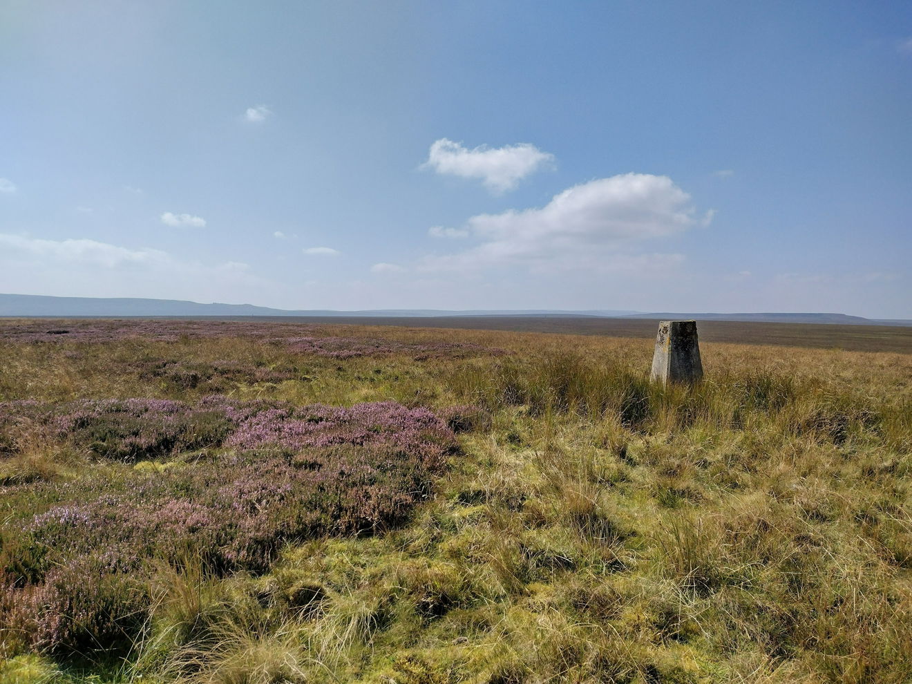
This is the Collinsons Hill trig point (435m) near Barnard Castle.
From the layby, cross the road and head down the cycle route.
Keep following the main track NE until you come to a junction and take the sharp path to the left.

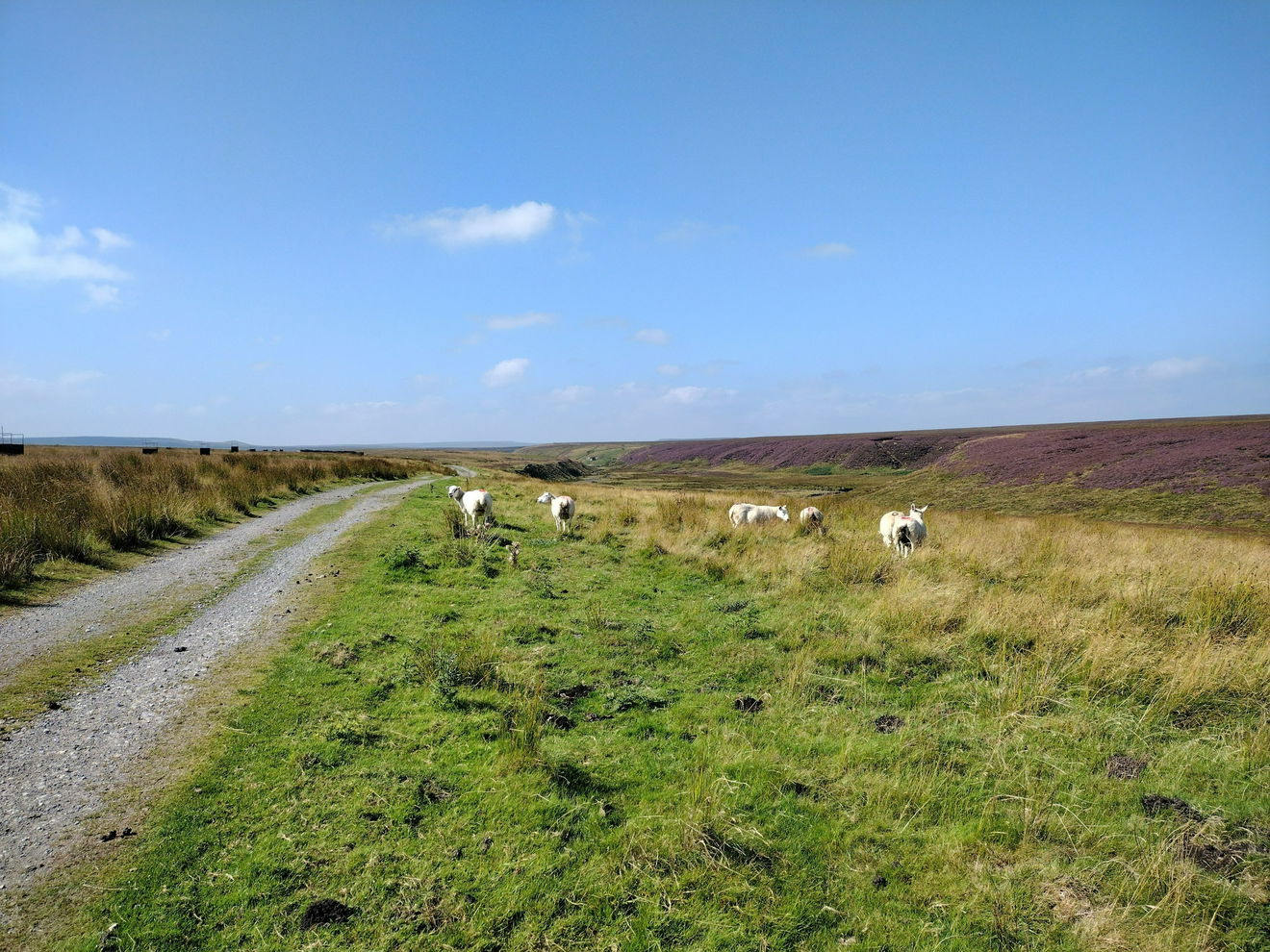
Follow this track West crossing a bridge and then taking a right turn on the track heading North.
Keep on this track heading North for approximately 1.5km.
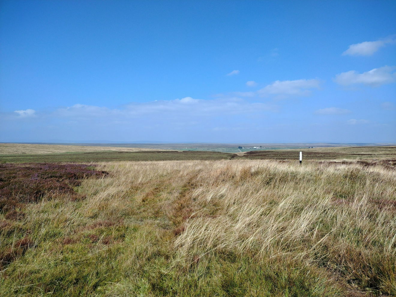
When the track bends right, head straight on to follow the grouse butts.
When you find good ground, turn left and head up to the trig point.
This route is just under 6km with 70m of ascent.
Follow the above route, or find on OS Maps.
Find this place
Find Collinsons Hill Trig Point
Where Is Collinsons Hill Trig Point?
- Lat / Long
- 54.489778, -2.120761
- What3words
- zoom.clotting.eruptions
Where To Park For Collinsons Hill Trig Point?
- Lat / Long
- 54.462524, -2.112263
- What3words
- functions.records.revived
There is parking for several cars in the layby.