The Cheviots
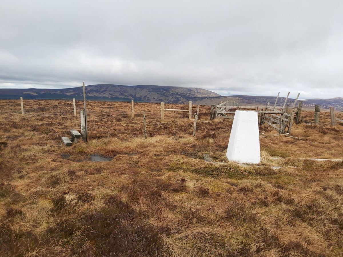
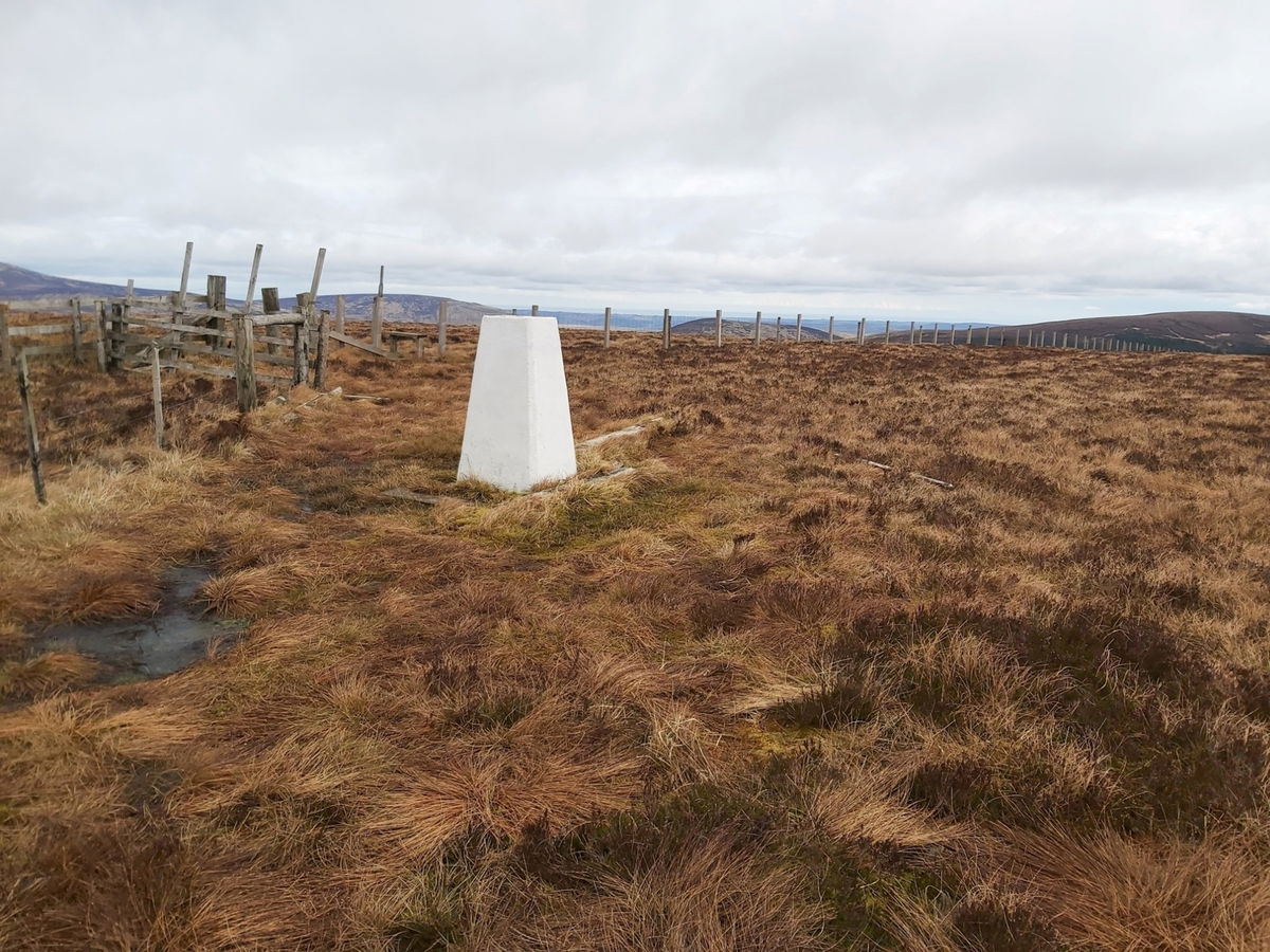
Bloodybush Edge Trig Point
The trig point sitting on top of Bloodybush Edge (610m).

If you're looking to bag the Bloodybush Edge Trig Point (610m), then you are going to have to get your walking boots on. Your best route is to park in Alwinton and head straight up Clennel Street, skirting the edge of Kidland Forest. Around 10km.
There is a shorter route of 7.5k where you park at Wedder Leap car park so you can save yourself a little bit of time and effort.

Can get a little boggy up there, so bring your wellies! Here is the map and OS Maps link for parking at Alwinton.
Show Alwinton Route On OS Maps
If your legs want the shorter route, then you can park at Wedder Leap car park.
Find this place
Find Bloodybush Edge Trig Point
Where Is Bloodybush Edge Trig Point?
- Lat / Long
- 55.422906, -2.156001
- What3words
- crispier.tempting.embraced
Where To Park For Bloodybush Edge Trig Point?
- Lat / Long
- 55.351054, -2.125546
- What3words
- paves.sunbeam.minivans
Park on the green in Alwinton.