Bellingham
Blackmoor Skirt Trig Point
This is the trig point for Blackmoor Skirt (364m) near Bellingham.

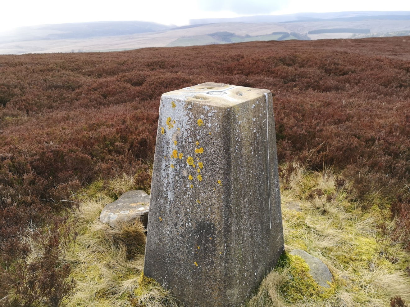
This is the Blackmoor Skirt trig point (364m) sitting on Gray Stone hill near Bellingham.
Best place to park is in the layby where the Pennine Way intersects the road and then follow the Pennine Way pavement all the way to the top of Whitley Pike. From here make your way south to the trig point.
Follow this map, or view it on OS Maps.
Thanks to Michael Alexander for the photos and information.
Find this place
Find Blackmoor Skirt Trig Point
Where Is Blackmoor Skirt Trig Point?
- Lat / Long
- 55.203792, -2.276148
- What3words
- objecting.positions.qualifier
Where To Park For Blackmoor Skirt Trig Point?
- Lat / Long
- 55.219397, -2.277644
- What3words
- represent.motion.onions
There is a big layby where the road crosses the Pennine Way.