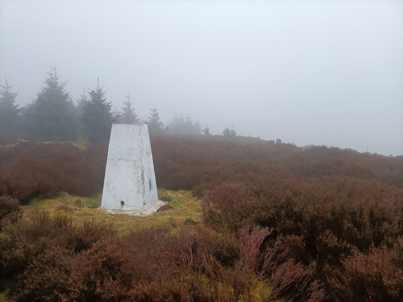
Blackburn Common Trig Point
This is the trig point for Blackburn Common (366m) near Kielder.

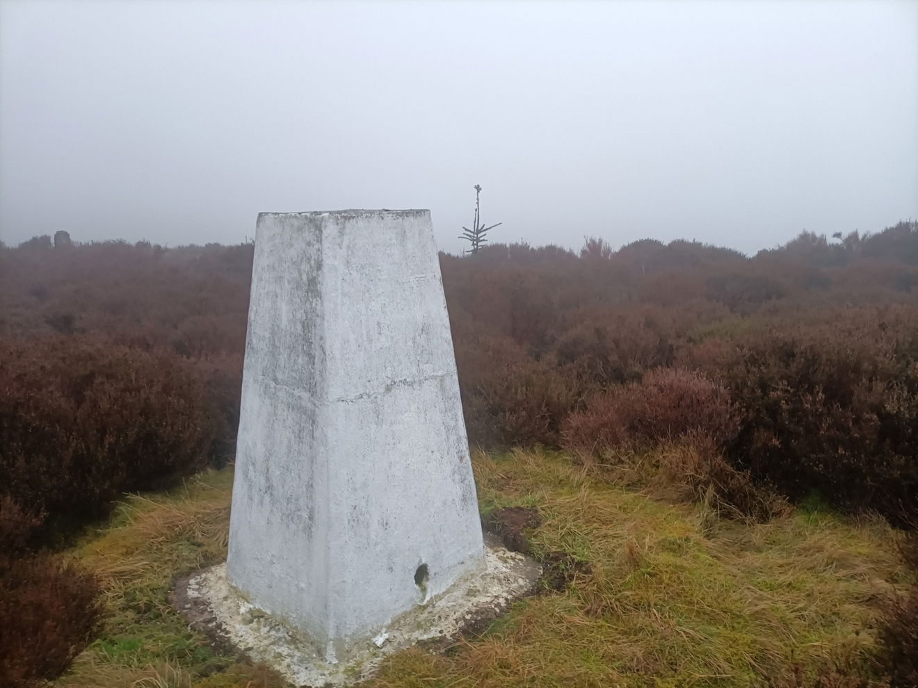
This is the Blackburn Common trig point (366m) on Rowantree Crag near Kielder.
You're looking at over 6km just to get there from the parking at Black Middens Bastle.
From the parking head NW along road to The Comb and follow forest track NE for approx 2km before heading SW on footparh, before turning NE along the permissive path. Follow path north into plantation before heading along fire break in trees to stone track then N along clear ground before heading over crags to trig. Boggy in places and 6.4km just to get there. Trace your route back to the car park.
Follow this map, or find it on OS Maps.
Thanks to Glen Harrison for the photos and information.
Find Blackburn Common Trig Point
Where Is Blackburn Common Trig Point?
- Lat / Long
- 55.236493, -2.3355872
- What3words
- transfers.dote.jiggle
Where To Park For Blackburn Common Trig Point?
- Lat / Long
- 55.202202, -2.359481
- What3words
- swimsuits.newly.dime
Parking is at the Black Middens car park.